Collection: Osher Map Library Collection
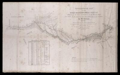
Name: Topographical map of the road from Missouri to Oregon, commencing at the mouth of the Kansas in the Missouri River and ending at the mouth of the Wallah Wallah in the Columbia.
Barcode:
Creator:
Publishing Location:
Notes:
Date/Date Range Produced:
Date/Date Range Published:
Language:
Dimensions: 41 x 66
LC Call Number: G4501.S12 1846.F742
OCLC: 36480667
Accession Number: OML-1846-55
Permenant URL: