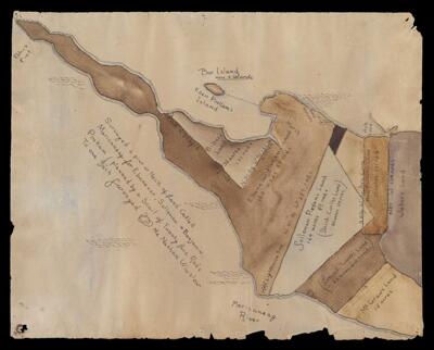
Surveyed at pint [sic] of neck of land called Mericaneag for Ebenezer, Solloman and Benjamin Pinkam planned by a scale of twenty-five rods to one inch Surveyed Mr. Nathan Wilson [19th Century copy]
Collection: Osher Map Library Collection
Name: Surveyed at pint [sic] of neck of land called Mericaneag for Ebenezer, Solloman and Benjamin Pinkam planned by a scale of twenty-five rods to one inch Surveyed Mr. Nathan Wilson [19th Century copy]
Barcode: 4000357
Surveyor: Winslow, Nathan
Date/Date Range Produced: 1880
Region Depicted: Maine
Map Type: Boundary mapsManuscript mapsProperty maps
Dimensions: 56 x 45 cm
Material Type: PaperVellum (parchment)
Notes: Map is Courtesy of the Harpswell Historical Society
See Also: Surveyed at pint [sic] of neck of land called Mericaneag for Ebenezer, Solloman and Benjamin Pinkam planned by a scale of twenty-five rods to one inch Surveyed Mr. Nathan Wilson
Permenant URL: https://oshermaps.org/map/4000357.0000