


Collection: Osher Collection
Page Name: Front cover
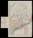
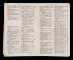
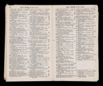
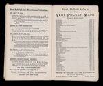
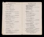
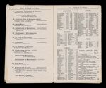
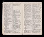
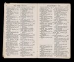
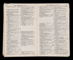
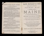
Name: Rand, McNally & Co.'s indexed county and railroad pocket map and shippers' guide of Maine accompanied by a new and original compilation and ready reference index, showing in detail the entire railroad system : the express company doing business over each
Barcode:
Image Number:
Permanent URL:
Alternative Title: Rand, McNally & Co.'s indexed county and railroad pocket map and shippers' guide of Maine accompanied by a new and original compilation and ready reference index, showing in detail the entire railroad system : the express company doing business over each road, and accurately locating all the cities, towns, post offices, railroad stations, villages, counties, islands, lakes, rivers, etc.
Publisher:
Date Published: 1897
Language:
Dimensions: Booklet: H 17 x W 10.5 cm Map: H 53 x W 35.5 cm
Notes:
LC Call Number: G3731.P3 1897 .R3
OCLC: 777213273
Accession Number: OS-1897-37
Donor:
Subjects: