


Collection: Osher Collection
Page Name: Front cover
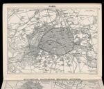
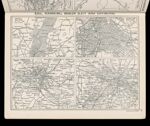
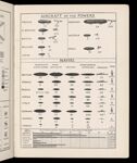
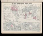
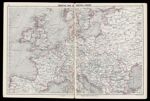
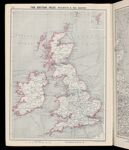
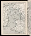
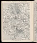
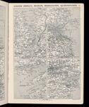
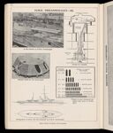
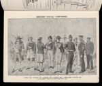
Name: Atlas of the War Maps, Plans, Diagrams and Pictures illustrating the Great European War
Barcode:
Image Number:
Permanent URL:
Bound Atlas:
Publishing Location:
Notes:
Author:
Publisher:
Date Produced:
Date Published:
Language:
Dimensions: H 25 cm
Physical Description: 1 atlas: 88 pages, including frontispiece, illustrations (including maps, plans), diagrams
LC Call Number: D522.3 .N4
OCLC: 20930067
Accession Number: OS-1914-14
Donor: