Official map of Maine : showing counties in different colors, townships, cities towns, villages and post offices ...
Collection: Osher Map Library Collection
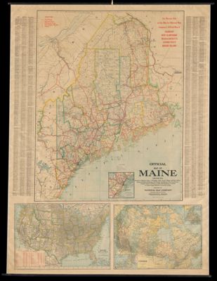
Name: Official map of Maine : showing counties in different colors, townships, cities towns, villages and post offices ...
Barcode: 13151
Creator: Anonymous / Unknown Author
From Atlas: No
Publishing Location: Indianapolis, IN
Notes: Census figures from 1925. "Edition 1247"Below the image of Maine is two maps, one of the United States and the other of Canada.
Publisher: National Map Company
Date/Date Range Produced: 1926
Date/Date Range Published: 1926
Language: English
Region Depicted: CanadaConnecticutMaineMassachusettsNew EnglandNew HampshireRhode IslandUnited StatesVermont
Map Type: Wall maps
Dimensions: 88 x 95 cm
Accession Number: OML-1926-151
Subjects: CensusRoad maps
Permenant URL: https://oshermaps.org/map/13151.0001