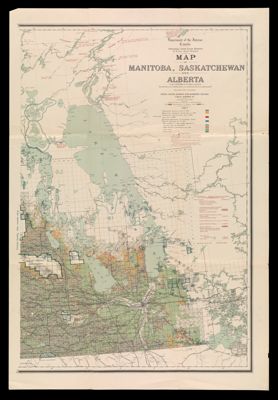
Map of Manitoba, Saskatchewan and Alberta (Sheet 1)
Collection: Osher Map Library Collection
Name: Map of Manitoba, Saskatchewan and Alberta (Sheet 1)
Barcode: 14325
Creator: Canada. Department of the Interior
From Atlas: No
Publishing Location: Ottawa, Canada
Notes: Sheet 1. Osher has 2 of 3 sheets for this map. 7th edition.
Publisher: Canada. Department of the Interior
Date/Date Range Produced: 1909
Date/Date Range Published: 1909
Language: English
Region Depicted: CanadaManitoba, Canada
Map Type: GeographicalPolitical mapsThematic maps
Dimensions: 92 x 24 cm
Material Type: Paper
LC Call Number: G3471.G465 1909 .C34
OCLC: 428074065
See Also: Map of Manitoba, Saskatchewan and Alberta (Sheet 2)
Subjects: CanadaCanada. Department of the InteriorManitoba
Permenant URL: https://oshermaps.org/map/14325.0001