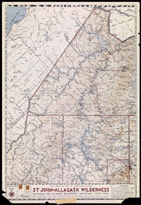
The Phillips Map of Northern Maine's St. Johns-Allagash Wilderness featuring the Allagash Wilderness Waterway State Park and indicating the lake to be created if, or when, the Dickey Dam is built
Collection: Osher Map Library Collection
Name: The Phillips Map of Northern Maine's St. Johns-Allagash Wilderness featuring the Allagash Wilderness Waterway State Park and indicating the lake to be created if, or when, the Dickey Dam is built
Barcode: 36577
Creator: Augustus D. Phillips & Son
Notes: "Copyright 1967 & Published by Augustus D. Phillips & Son - Northeast Harbor Maine - U.S.A."
Publisher: Augustus D. Phillips & Son
Date/Date Range Produced: 1967
Date/Date Range Published: 1967
Language: English
Region Depicted: Northern Maine
Map Type: Boundary mapsTopographical maps
Dimensions: 36 x 44 cm
LC Call Number:
OCLC:
Donor: Eastman
Permenant URL: https://oshermaps.org/map/36577.0001