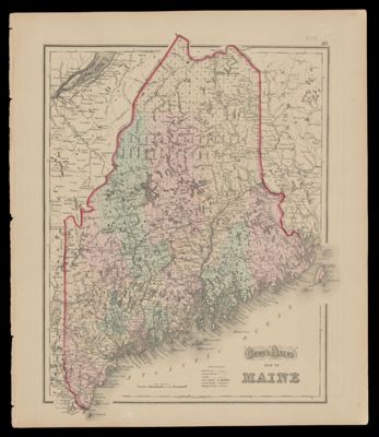
Gray's Atlas Map of Maine; [Verso] Vermont : New Hampshire
Collection: Osher Collection
Name: Gray's Atlas Map of Maine; [Verso] Vermont : New Hampshire
Barcode: 1147
Creator: Gray, O. W. (Ormando Wyllis), 1829-1912
From Atlas: Yes
Publishing Location: Philadelphia
Notes: "89" printed in upper right corner of sheet. Verso: Colored map of Vermont and New Hampshire. Copy 2, OS-1873-16 is copy 1.
"90" printed in upper left corner of sheet. Verso: Gray's Atlas Map of Maine. Copy 2, OS-1873-16 is copy 1.
Publisher: Gray, O. W. (Ormando Wyllis), 1829-1912
Date/Date Range Produced: 1873
Date/Date Range Published: 1873
Language: English
Region Depicted: Maine
Map Type: GeographicalPolitical maps
Dimensions: 38 x 30 cm
Material Type: Paper
OCLC: 55519987
Accession Number: OS-1873-17
Donor: Osher
Subjects: CanalsCountiesMaine--MapsMountainsRailroadsRivers and lakes
Permenant URL: https://oshermaps.org/map/1147.0001