Collection: Osher Map Library Collection
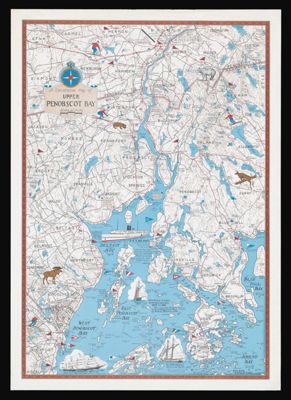
Name: A Decorative Map of Upper Penobscot Bay
Barcode:
From Atlas:
Notes:
Publisher:
Date/Date Range Produced:
Date/Date Range Published:
Language:
Region Depicted:
Map Type:
Dimensions: 72 x 51 cm
LC Call Number: G3732.P395 P55 1981
OCLC:
Donor:
Permenant URL: