Collection: Smith Collection
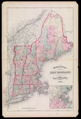
Name: Walling & Gray's Map of New England with adjacent portions of New York & Canada. 1871.
Barcode:
Creator:
From Atlas:
Atlas Reference:
Subjects:
Date/Date Range Produced:
Date/Date Range Published:
Language:
Region Depicted:
Map Type:
Dimensions: H 65.4 x W 43 cm
Material Type:
LC Call Number: G3720 .W3 1871
OCLC: 180098688
Donor:
Permenant URL: