Collection: Osher Collection
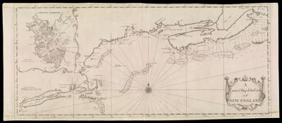
Name: A Correct Map of the Coast of New England. 1731
Barcode:
Creator:
Notes:
Date/Date Range Produced:
Date/Date Range Published:
Language:
Map Type:
Dimensions: 45 cm. x 105 cm. on sheet 48 cm. x 115 cm.
Printing Process:
Printing Technique:
Material Type:
LC Call Number: G3720 1731.S6
OCLC: 986799721
Donor:
Permenant URL: