Collection: Osher Map Library Collection
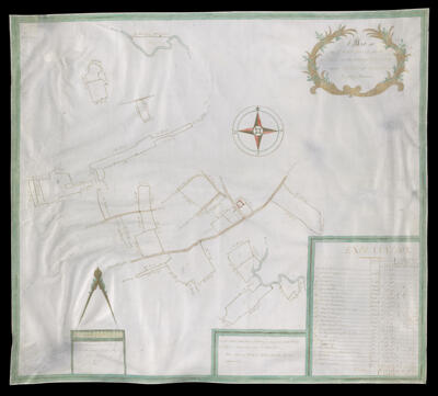
Name: A Map of the lower house farm at Noke in parish of Pembridge and county of Hereford.
Barcode:
Publishing Location:
Surveyor:
Date/Date Range Produced:
Language:
Map Type:
Dimensions: H 60 x W 68 cm
LC Call Number: G5753.H4 1772 A8
OCLC: 1130239340
Permenant URL: