Collection: Osher Map Library Collection
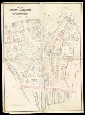
Name: Plan of burnt district (by fire of Nov. 9th and 10th, 1872) : showing street improvements as adopted by Board of Street Commissioners and City Council
Barcode:
Creator:
Date/Date Range Produced:
Date/Date Range Published:
Region Depicted:
Dimensions: 133 x 96 cm
LC Call Number:
OCLC: 51297884
Accession Number: OML-1873-45
Donor:
Permenant URL: