Collection: Osher Map Library Collection
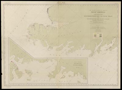
Name: Kelp map, Pacific coast, Alaska. Sheet B. Map showing location and extent of kelp groves, Alaska, south coast, Resurrection Bay to Cook Inlet and, (insert), Kuiukta Bay to Unga Island, Alaska Peninsula
Barcode:
From Atlas:
Notes:
Publisher:
Date/Date Range Produced:
Date/Date Range Published:
Language:
Region Depicted:
Dimensions: 77 x 114 cm
OCLC: 1041854337
Accession Number: OML-1913-102
Permenant URL: