Collection: Osher Map Library Collection
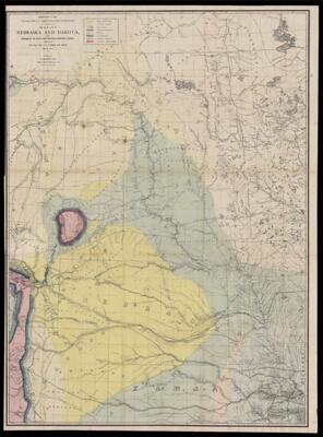
Name: Map of Nebraska and Dakota and portions of the states and territories bordering thereon compiled by Bv't Maj. Gen. G.K. Warren, Maj. Engineers, March, 1867.
Barcode:
Publisher:
Publishing Location:
Date/Date Range Published: 1867
Language:
Region Depicted:
Map Type:
Dimensions: 110 x 80 cm
LC Call Number: G4130 1867.W3
OCLC: 1160209472
Accession Number: OML-1867-52
Subjects:
Permenant URL: