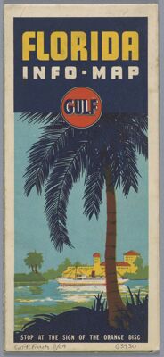
Florida
Collection: Osher Map Library Collection
Name: Florida
Barcode: 1003459
Creator: Rand McNally and Company
From Atlas: No
Publishing Location: Chicago
Notes: Includes index, Florida fishing chart, Florida wild life, key map
Florida mileage table, ancillary maps of Western Florida, Jacksonville, St. Petersburg-Tampa and vicinity, Orlando and vicinity, West Palm Beach, Miami, Miami Beach, and Cuba
Publisher: Gulf Oil Corporation
Date/Date Range Produced: 1938
Date/Date Range Published: 1938
Language: English
Region Depicted: Florida
Map Type: Pictorial mapsRoad maps
Dimensions: 100 x 45 cm, folding to 32 x 10 cm
LC Call Number: G3931.E635 1938 .R3
OCLC: 63190881
Donor: French
Subjects: Racial stereotypesRoad mapsTourism
Permenant URL: https://oshermaps.org/map/1003459.0001; 1003459.0002; 1003459.0003; 1003459.0004