Collection: Smith Collection
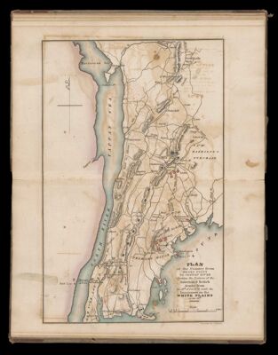
Name: Plan of the Country from Frog's Point to Croton River shewing the positions of the American & British armies from the 12th of Oct. 1776 until the engagement on the White Plains on the 28th
Barcode:
Content:
Subjects:
Region Depicted:
Dimensions: 29 x 22.2 cm
Permenant URL: