Collection: Howard Collection
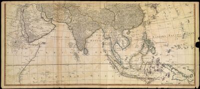
Name: Asia and its Islands according to d'Anville: divided into Empires, Kingdoms, States, Regions &ca with the European Possessions and Settlements in the East Indies and an Exact Delineation of all the Discoveries made by the English under Captn. Cook.
Barcode:
Creator:
Date/Date Range Produced:
Date/Date Range Published:
Language:
Region Depicted:
Printing Process:
Printing Technique:
Material Type:
Accession Number: HO-1794-2.2
Donor:
Permenant URL: