Collection: Osher Map Library Collection
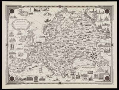
Name: Europe a Pictorial Map by Ernest Dudley Chase
Barcode:
Creator:
Publishing Location:
Notes:
Date/Date Range Produced:
Date/Date Range Published:
Language:
Region Depicted:
Map Type:
Dimensions: 43 x 58 cm
LC Call Number: G5700 .C4 1938
OCLC: 124068894
Permenant URL: