Collection: Osher Map Library Collection
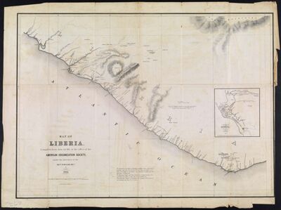
Name: Map of Liberia. Compiled, from data on file in the office of the American Colonization Society, under the direction of the Revd. W. McLain, Secy. by R. Coyle
Barcode:
Creator:
Publishing Location:
Notes:
Date/Date Range Produced:
Date/Date Range Published:
Language:
Dimensions: 43 x 61
Printing Process:
Printing Technique:
Material Type:
LC Call Number: G8880 .C6 1845
OCLC: 86222387
Accession Number: OML-1845-17
Permenant URL: