Collection: Osher Map Library Collection
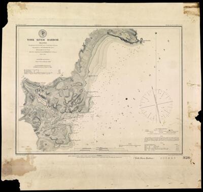
Name: York River Harbor, Maine, Triangulation by T. J. Cram Capt. U.S. Tpl. Engrs. Assistant, Topography by A. W.
Barcode:
Publisher:
Publishing Location:
Notes:
Date/Date Range Produced:
Date/Date Range Published:
Language:
Map Type:
Dimensions: map 31 x 40 cm on sheet 46 x 49 cm
OCLC: 880676968
Accession Number: OML-1854-25
Permenant URL: