Collection: Osher Map Library Collection
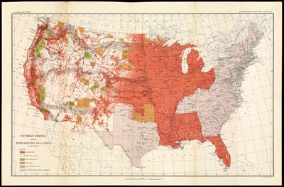
Name: United States Showing Disposition of Lands
Barcode:
Creator:
Date/Date Range Produced:
Date/Date Range Published:
Language:
Region Depicted:
Map Type:
Dimensions: 34 x 57 cm
LC Call Number: G3701.G5 1896.U5
OCLC:
Permenant URL: