Collection: Osher Map Library Collection
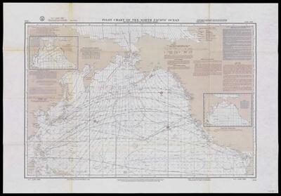
Name: Pilot Chart of the North Pacific Ocean
Barcode:
Creator:
Publishing Location:
Notes:
Date/Date Range Produced:
Date/Date Range Published:
Language:
Dimensions: 57 x 87 cm folded to 27 x 18 cm
OCLC: 437605655
Accession Number: OML-1968-15
Permenant URL: