Collection: Osher Map Library Collection
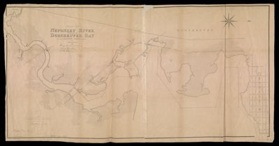
Name: Plan of Neponset River and part of Dorchester Bay showing the harbor lines proposed by the Commissioners 1854
Barcode:
Notes:
Publisher:
Date/Date Range Produced:
Date/Date Range Published:
Language:
Region Depicted:
Dimensions: 63 x 124 cm
LC Call Number: G3762.D6 1854 B6
OCLC: 317750553
Donor:
Permenant URL: