Collection: Osher Map Library Collection
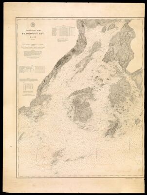
Name: Penobscot Bay Maine
Barcode:
Creator:
Publisher:
Publishing Location:
Notes:
Date/Date Range Produced:
Date/Date Range Published:
Language:
Map Type:
LC Call Number: G3732.P395P5 1880 .U5
OCLC: 83769573
Accession Number: OML-1880-24
Donor:
Permenant URL: