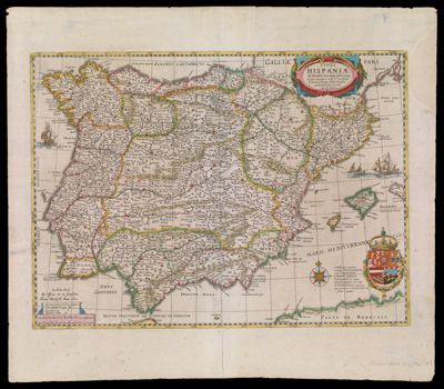
Typus Hispaniae ab Hesselo Gerardo delineata.
Collection: Osher Map Library Collection
Name: Typus Hispaniae ab Hesselo Gerardo delineata.
Barcode: 13003
Creator: Hondius, Hendrik, 1597-1651
From Atlas: Yes
Publishing Location: Amsterdam
Notes: 6th state of the Gerritsz 1613 map by Henricus Hondius. Text on verso is in English. The Engass Maps of Spain Collection has the other copy - ENG-1636-3.
Publisher: Gerritsz, Hessel, approximately 1581-1632
Date/Date Range Produced: 1636
Date/Date Range Published: 1636
Language: EnglishLatin
Region Depicted: Spain
Map Type: GeographicalPolitical maps
Dimensions: 36 x 49 cm
Printing Process: Engraving
Printing Technique: Copper
Material Type: Paper
LC Call Number: G6562 .G4 1636
OCLC: 68569208
Subjects: Animals, MythicalCartouches, Ornamental (Decorative arts)CastlesCrownsFleur-de-lisGerritsz., Hessel, approximately 1581-1632HeraldryHondius, Hendrik, 1597-1651Imaginary creaturesLionsMaps--Early works to 1800plantsSailing shipsSpainStrapwork
Permenant URL: https://oshermaps.org/map/13003.0001; 13003.0002