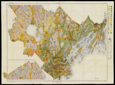
Soil Map, Maine, Cumberland County Sheet
Collection: Osher Map Library Collection
Name: Soil Map, Maine, Cumberland County Sheet
Barcode: 12084
Creator: United States. Bureau of Soils
Notes: Note under neat line: "Base Map from U.S. Geological Survey Sheets". Stored with Soil Map collection, 3rd floor
Date/Date Range Produced: 1915
Date/Date Range Published: 1915
Language: English
Region Depicted: Cumberland County, Maine
Dimensions:
LC Call Number: G3733 .C8 1915
OCLC:
Permenant URL: https://oshermaps.org/map/12084.0001