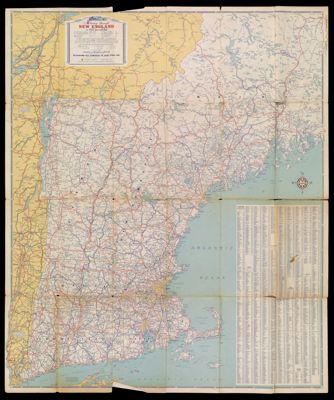
Motoring through New England in 1933
Collection: Osher Map Library Collection
Name: Motoring through New England in 1933
Barcode: 11950
Publishing Location: New York
Notes: Verso: Boston and vicinity. Principal highway routes Northeastern United States. Highways connecting Maine with the adjoining Canadian provinces. Main roads to New York City. Also includes descriptions of state parks and forests of New England, index of public lands, panel title and mileage chart.
Date/Date Range Produced: 1933
Date/Date Range Published: 1933
Language: English
Region Depicted: New England
Map Type: Road maps
Dimensions: 66 X 89 cm
LC Call Number: G3721.P2.G4
OCLC: 56713954
Permenant URL: https://oshermaps.org/map/11950.0001; 11950.0002