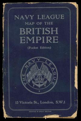
Navy League Map of the British Empire
Collection: Osher Map Library Collection
Name: Navy League Map of the British Empire
Barcode: 11956
Creator: London Geographical Institute
Publishing Location: London
Notes: Separate, folded 3x6 in printed card folder. Map of the world showing trade and cable routes, distances and nautical facilities. Economic statistics to 1922, naval statistics to 1924. Includes: Historical chart of the British Empire, the narrow seas (N.W. Europe), the evolution of the Union Jack, flags of the self-governing dominions and India, flags of Great Britain, empire statistics, the evolution of the British Navy, modern types of the British Navy, the principal navies of the world compared.
Publisher: George Philip & Son
Date/Date Range Produced: 1922
Date/Date Range Published: 1922
Language: English
Region Depicted: World
Dimensions: Cover: 18 x 11.5 cm; world map: 17 x 33 cm; printed area: 49 x 61.5 cm on sheet: 50 x 63.5 cm
Material Type: Paper
LC Call Number:
OCLC: 271369051
Subjects: ColonialismCommerce
Permenant URL: https://oshermaps.org/map/11956.0001