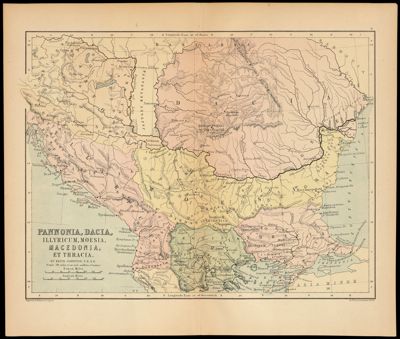
Pannonia, Dacia, Illyricum, Moesia, Macedonia, et Thracia
Collection: Osher Map Library Collection
Name: Pannonia, Dacia, Illyricum, Moesia, Macedonia, et Thracia
Barcode: 12926
Creator: Johnston, Alexander Keith, 1804-1871
Publishing Location: Edinburgh
Notes: The provinces and regions depicted on the map were once part of the Roman Empire and are now the present day Balkans and Greece.
Date/Date Range Produced: 1873
Date/Date Range Published: 1873
Language: EnglishLatin
Region Depicted: Northern ItalyRoman Empire
Dimensions: 25 x 30 cm
LC Call Number:
OCLC: 610055514
Permenant URL: https://oshermaps.org/map/12926.0001