Collection: Osher Map Library Collection
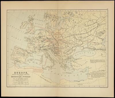
Name: Europe showing the general direction of the Barbarian inroads on the fall of the Roman Empire
Barcode:
Creator:
Publishing Location:
Notes:
Date/Date Range Produced:
Date/Date Range Published:
Language:
Dimensions: 22 x 30 cm. on sheet 28 x 36 cm.
OCLC: 610055337
Accession Number: OML-1875-38
Permenant URL: