Collection: Osher Map Library Collection
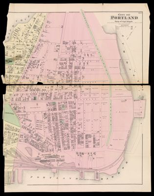
Name: City of Portland, 1871
Barcode:
Creator:
Notes:
Date/Date Range Produced:
Date/Date Range Published:
Language:
Region Depicted:
Dimensions: 12945.0001: 84.5 x 66 cm
12945.0002: 85 x 69.5 cm (W at widest part)
12945.0003: 84 x 66 cm (W at widest part)
12945.0004: 84 x 68 cm (W at widest part)
12945.0005: 84 x 70 cm (W at widest part)
LC Call Number:
OCLC:
Permenant URL: