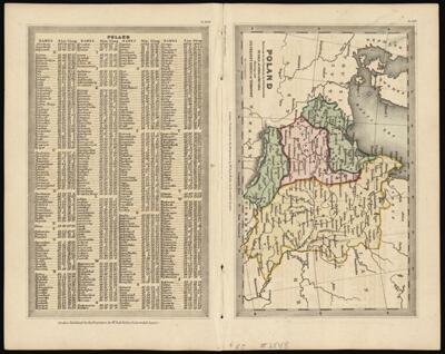
Poland previous to its Partition in 1795 between Russia, Austria & Prussia Shewing also its present extent of its territory.
Collection: Osher Map Library Collection
Name: Poland previous to its Partition in 1795 between Russia, Austria & Prussia Shewing also its present extent of its territory.
Barcode: 12033
Creator: Holles, BullStarling, Thomas
Date/Date Range Produced: 1830
Date/Date Range Published: 1830
Language: English
Dimensions: 8 x 14
Notes: From: Geographical Annual, or Family Cabinet Atlas, ca. 1830.
Note: "London published for the Proprietors by Mr. Bull Holles St. Cavendish Square."
On index page, top right corner: "PL.XLIII. On map page, top right corner: "PL.XLIV."
OCLC: 618670335
Accession Number: OML-1830-13
Permenant URL: https://oshermaps.org/map/12033.0001