Collection: Osher Map Library Collection
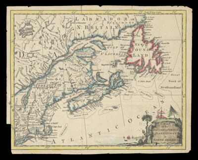
Name: Map of the British & French Plantations in North America
Barcode:
From Atlas:
Notes:
Publisher:
Date/Date Range Produced:
Date/Date Range Published:
Language:
Region Depicted:
Map Type:
Dimensions: H 22.1 X W 28 cm
Printing Process:
Printing Technique:
Material Type:
LC Call Number:
OCLC: 255332785
Permenant URL: