Holland, Belgium (except west coast), France (north east), Germany (west & central) ; France (south east), Germany (south west), Switzerland (except south east)
Collection: Osher Map Library Collection
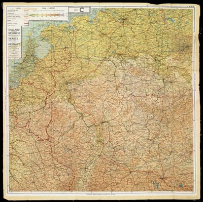
Name: Holland, Belgium (except west coast), France (north east), Germany (west & central) ; France (south east), Germany (south west), Switzerland (except south east)
Barcode: 15279
Creator: Great Britain. MI9
Notes: Cloth map.Maps are labeled "Sheet C. Sheet D."Above right margins on each map: "43/C." "43/D."Shows cities, roads, canals, railways, international and former frontiers, and international boundaries.Includes inset of "Belgium & Germany (new frontier) 1:250,000."
Date/Date Range Produced: 1943
Date/Date Range Published: 1943
Language: English
Region Depicted: BelgiumFranceGermanySwitzerlandThe Netherlands
Dimensions: 74 x 75 cm, folded to 10 x 13 cm
LC Call Number: G5720 1943 .G6
OCLC: 26588750
Permenant URL: https://oshermaps.org/map/15279.0001; 15279.0002; 15279.0003; 15279.0004; 15279.0005