Collection: Osher Map Library Collection
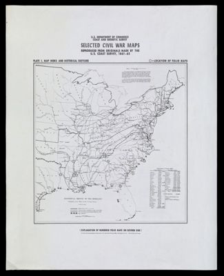
Name: Selected Civil War maps, reproduced from originals made by the U.S. Coast Survey, 1861-65Plate 1: Map Index and Historical Sketches
Barcode:
Publishing Location:
Notes:
Date/Date Range Produced:
Date/Date Range Published:
Language:
Region Depicted:
Map Type:
Dimensions: 88 x 178 cm
LC Call Number: G1201.S5 U55 1962
OCLC: 10293526
Accession Number: OML-1962-24.1
Donor:
Permenant URL: