Collection: Osher Map Library Collection
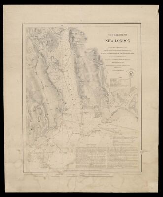
Name: The harbor of New London : founded upon a trigonometrical survey
Barcode:
Publisher:
Date/Date Range Produced:
Date/Date Range Published:
Map Type:
Dimensions: 42 x 37 cm
Printing Process:
Notes:
LC Call Number: G3784.N5 1848 .U5
OCLC: 70912350
Accession Number: OML-1848-39
Permenant URL: