Collection: Osher Map Library Collection
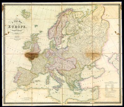
Name: A New Map of Europe Corrected & Revised from the best and latest Authorities.
Barcode:
Creator:
Date/Date Range Produced:
Date/Date Range Published:
Language:
Region Depicted:
Dimensions: Height: 24
Accession Number: OML-1829-24.1
Permenant URL: