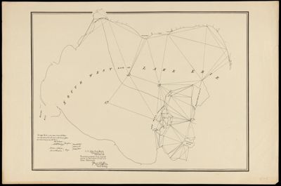
South West End of Lake Erie
Collection: Osher Map Library Collection
Name: South West End of Lake Erie
Barcode: 38560
Notes: "We certify this to be a true map of part of the Boundary designated by the sixth article of the Treaty of Ghent from actual Survey by order of the Board."
Publisher: United States. Light-House Board
Date/Date Range Produced: 1891
Date/Date Range Published: 1891
Language: English
Region Depicted: Lake Erie
Map Type: Boundary maps
Dimensions: 40 x 61 cm
LC Call Number:
OCLC:
Donor: USM Geo/Anthro Department
Permenant URL: https://oshermaps.org/map/38560.0001