Collection: Osher Map Library Collection
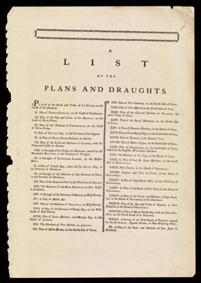
Name: A List of the Plans and Draughts.
Barcode: 48052
Creator: Jefferys, Thomas, 1710-1771
Date/Date Range Produced: 1770
Date/Date Range Published: 1770
Language: English
Dimensions: 52 x 36
Notes: Table of contents from a Jefferys atlas.
Accession Number: OML-1770-1
Permenant URL: https://oshermaps.org/map/48052.0001