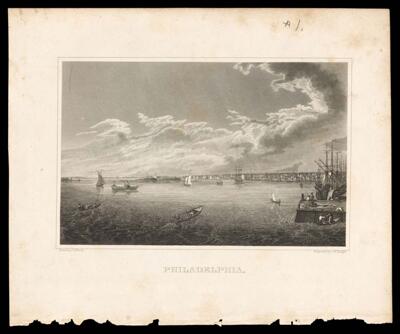
Philadelphia.
Collection: Osher Map Library Collection
Name: Philadelphia.
Barcode: 48083
Creator: Malte-Brun, Conrad, 1775-1826Neagle, John B., approximately 1796-1866Smith, John Rubens, 1775-1849Walker, Samuel, active 1832-1851
Date/Date Range Produced: 1828
Date/Date Range Published: 1828
Language: English
Dimensions: 14 x 21 cm on sheet 23 x 27
Notes: From Malte-Brun's "System of Geography, Vol. 1"
Notes below neat line: "Drawn by J.R. Smith" "Engraved by J.B. Neagle"
Handwritten in pencil above picture: "#1."
Depicts Philadelphia waterfront.
Accession Number: OML-1828-23
Permenant URL: https://oshermaps.org/map/48083.0001