Collection: Osher Map Library Collection
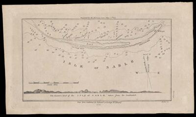
Name: The eastern end of the Isle of Sable, taken from the southward.
Barcode: 52320
Publisher: E. and G. W. Blunt (Firm)
Date/Date Range Produced: 1833
Date/Date Range Published: 1833
Notes: "Engraved for the American Coast Pilot, 12th ed."
Accession Number: OML-1833-26
Permenant URL: https://oshermaps.org/map/52320.0001