Collection: Osher Map Library Collection
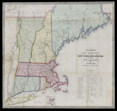
Name: Williams' telegraph and rail road map of the New England states, eastern portion of New York state and Canada : compiled from the most authentic sources
Barcode:
Creator:
Publisher:
Date/Date Range Produced:
Date/Date Range Published:
Dimensions: 74 x 78 cm
Notes:
LC Call Number: G3721.P3 1852 .W55
OCLC: 801558529
Accession Number: OML-1852-53
Permenant URL: