Collection: Osher Map Library Collection
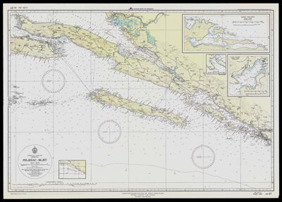
Name: Pelješac-Mljet
Barcode: 43110
Date/Date Range Produced: 1989
Date/Date Range Published: 1989
Language: Serbo-Croatian
Region Depicted: Adriatic SeaCroatiaYugoslavia
Notes: Yugoslavia nautical chart. Adriatic Sea east coast, heights and depths in meters.
Accession Number: OML-1989-54
Donor: Paine
Permenant URL: https://oshermaps.org/map/43110.0001; 43110.0002