Collection: Osher Map Library Collection
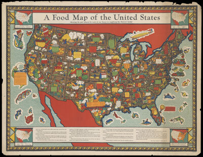
Name: A Food Map of the United States showing the part played by each of our states in supplying the nation's larder
Barcode:
Creator:
Publishing Location:
Notes:
Publisher:
Date/Date Range Published:
Language:
Map Type:
Dimensions: 79 x 105 cm on sheet 89 x 114 cm
LC Call Number: G3701.J6 1932 F3
OCLC: 62288925
Permenant URL: