Collection: Osher Map Library Collection
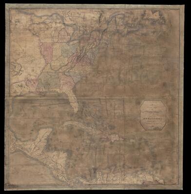
Name: A Correct Map of the United States with the West Indies
Barcode: 48972
Creator: Lewis, Samuel, 1753 or 1754-1822T. Plowman
Date/Date Range Produced: 1813
Date/Date Range Published: 1813
Dimensions: 97 x 93.5
Accession Number: OML-1813-13
Permenant URL: https://oshermaps.org/map/48972.0001