Collection: Osher Map Library Collection
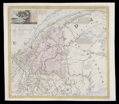
Name: Sketch of the great valley of the rr. St. John exhibiting the situation & extent of the territory in dispute between the British & American governments and the boundary respectively claimed
Barcode:
Publisher:
Publishing Location:
Notes:
Date/Date Range Published: 1827
Language:
Map Type:
Dimensions: 48 x 52 cm
LC Call Number: G3401.F2 1827 H4
OCLC: 1121476995
Accession Number: OML-1827-19
Subjects:
Permenant URL: