Collection: Osher Map Library Collection
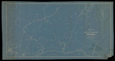
Name: Map of the Boston & Maine Railroad showing its relative position & connection with other railroads prepared by the order of the Committee of Investigation, July, 1849
Barcode:
From Atlas:
Notes:
Publisher:
Date/Date Range Published: Jul 1914
Language:
Region Depicted:
Map Type:
Dimensions: 53 x 102 cm
LC Call Number: G3721.P3 1849 B6 1914
OCLC: 1026389584
Accession Number: OML-1914-98
Subjects:
Permenant URL: