Collection: Osher Map Library Collection
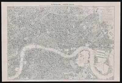
Name: London, 1899-1900. Map showing Places of Religious Worship, Public Elementary Schools, and Houses Licensed for the Sale of Intoxicating Drinks.
Barcode:
Creator:
Notes:
Date/Date Range Produced:
Date/Date Range Published:
Language:
Region Depicted:
Map Type:
Dimensions: 63 x 92 cm
LC Call Number: G5754.L7 1902 E3
OCLC: 556373289
Permenant URL: