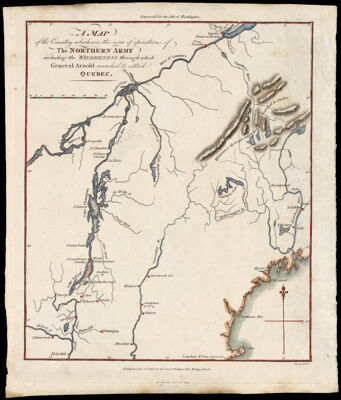
A Map of the Country which was the scene of operations of the Northern Army including the Wilderness through which General Arnold marched to attack Quebec.
Collection: Osher Collection
Name: A Map of the Country which was the scene of operations of the Northern Army including the Wilderness through which General Arnold marched to attack Quebec.
Barcode: 14623
Creator: Phillips, R. (Richard), Sir, 1767-1840
Printmaker: Neele, Samuel John, 1758-1824
From Atlas: No
Notes: Note above neat line: "Engraved for the Life of Washington." Notes below neat line: "Published Novr. 1806 by Richard Phillips, New Bridge Street." "Neele sc. Strand"
Publisher: Phillips, R. (Richard), Sir, 1767-1840
Date/Date Range Produced: 1806
Date/Date Range Published: 1806
Language: English
Region Depicted: CanadaNew EnglandQuébec City, CanadaSaint Lawrence River
Map Type: GeographicalHistorical mapsPolitical maps
Dimensions: H 26 x W 22 cm
Printing Process: Engraving
Printing Technique: Copper
Material Type: Paper
LC Call Number:
OCLC: 650531723
Donor: Osher
Subjects: CanadaNew EnglandQuebecSaint Lawrence River
Permenant URL: https://oshermaps.org/map/14623.0001